The Halifax Triangle and Downtown Commercial Historic District consists of two distinct but interrelated areas that tell the story of African American culture, commerce, and experience in Petersburg from the mid-19th-century through the present day.

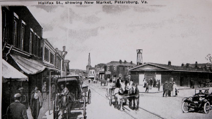
The southern portion of the district, primarily set along Halifax Street, evolved in the mid-20th-century as a prosperous and cohesive yet segregated African American community complete with businesses, residences, churches, and an open market containing smaller-scale Italianate-style and vernacular commercial buildings. As race relations remained tense in the second half of the 20th century, coupled with severe economic struggle and subsequent “white flight” throughout Petersburg, the African American neighborhood expanded into the northern portion of the district and combined with the Halifax Street area to become a larger yet still cohesive commercial district.
Today, the district struggles with blight and poverty, but remains as an important center and reminder of the African-American heritage of Petersburg. The oldest building in the district is the Greek Revival Washington Street Methodist Church, constructed in 1842. Other buildings in the district individually listed in the state and national registers include a Moderne-style Trailways Bus Station and the 1851 Second Empire-style Cohen House. The district’s period of significance ends in 1964, when Joseph Owens, a Halifax Triangle resident and business owner, became the first African American elected since Reconstruction to serve on Petersburg’s City Council.

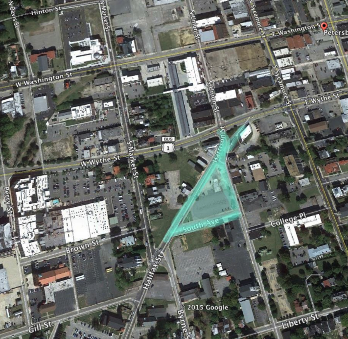
The interactive Webmap below shows a recreation of what buildings were once on “The Avenue”, the southern block of South Avenue between Halifax Street and Harrison Street.
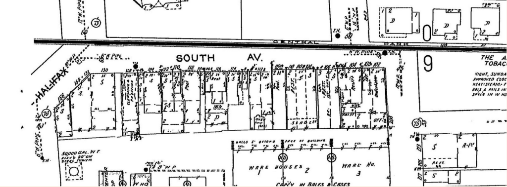
The building footprints were traced from 1956 Sanborn Maps, as seen below:

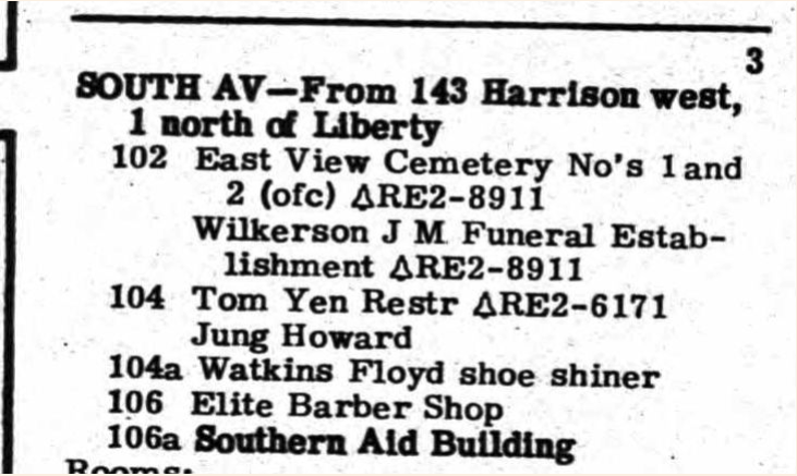
And using a 1960 Petersburg City Directory, the uses of those buildings were identified and added as an attribute in GIS:

Make sure to Zoom and click on each building to see what use was there in 1960!
